NASA satellites could be a new tool to help estimate snowpack, manage water resources

New tools are allowing scientists to measure snowpack with lasers from space.
“Now we have this capability to measure snow from space. And this is huge,” said University of Washington doctoral candidate Hannah Besso.
Most often, snowpack estimates
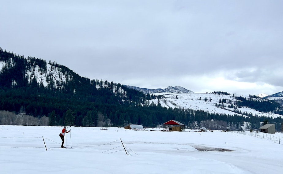
Most often, snowpack estimates come from computer models and measurements taken at specific spots, but snow depths vary pretty drastically from one place to another. It’s like skiing across rocks and then minutes later being in knee-deep powder, Besso said.
Besso, the lead author of a new study recently published in the journal “Remote Sensing of the Environment,” analyzed data from a NASA satellite to measure the amount of snowpack in Methow Valley in Washington and the Tuolumne River Basin in Yosemite National Park.
Sponsored
The ICESat-2 satellite used LIDAR to send tiny photon particles that show up as green light to the Earth’s surface, although Besso said it’d be pretty rare to notice them. Then, the photons bounced back to the satellite.
The satellite noted the distance both with snowpack and without it. Scientists measured the time difference from when the photons hit the surface to when they bounced back to the satellite, which allowed them to estimate snowpack levels.
The results were surprisingly accurate, she said, especially in the Tuolumne River Basin. That area has more on-the-ground data and is flatter terrain and less dense canopy cover than the Methow Valley, she said.
“The metric of how successful this is, is whether it can be used to improve water resources management. That's really a challenge,” Besso said.
This data could have a big impact on the Methow Valley, Besso said, because there’s not as much information about snowpack there as in the Tuolumne Basin.
Sponsored
“We have this opportunity to add a lot to the existing data,” she said. “And so these results have the possibility of really having a bigger impact.”
That will be especially important as the climate changes, she said.
“As we move towards more variable snowpack depth, and likely, less snow and earlier melt out, being able to predict where snow is in the mountains, and when it'll melt out, are becoming more and more important,” Besso said.
The team had to use a new data-processing tool called the SlideRule Earth, which made the measurements much more accurate, Besso said.
When Besso started the research in 2020, she said she didn’t know if it would pan out at all.
Sponsored
“Which is nerve wracking as an early career scientist,” she said.
But now that they’ve proven the method’s feasibility, they’ll have to work on the method’s operational capabilities, she said.
“I would like people to understand the extreme importance of snow to all of us here in Washington state and throughout the Western U.S.,” Besso said. “That resource is really vulnerable. And so anything we can do to try to protect our snowpack is going to have huge benefits for all of us.” [Copyright 2023 Northwest News Network]
